Sansa to launch satellite‑powered tools to tackle air, flood, and water crises
· Citizen
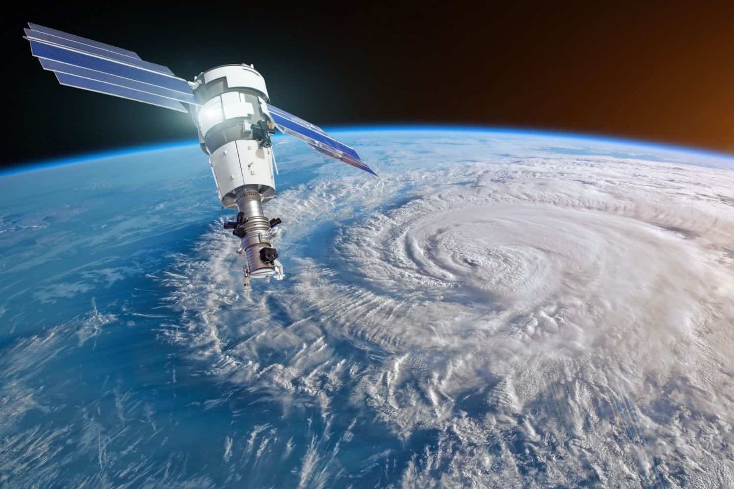
South Africa is set to witness a landmark in space‑powered problem‑solving, as the South African National Space Agency (SANSA) unveils three cutting‑edge Earth Observation tools designed to turn satellite data into frontline intelligence on air pollution, flood risk and water security – the nation’s most pressing environmental battlegrounds.
The launch, taking place on 3 July 2026 at Pretoria’s Protea Fire and Ice Hotel, marks a decisive step in SANSA’s mission to put space technology to work for everyday South African challenges.
Visit mchezo.life for more information.
Severe weather
Severe weather is no longer a distant threat; it is striking harder and more often.
Communities across the country are facing flash floods, gale‑force winds and large hailstorms that arrive with little warning – events that are increasingly disruptive and dangerously unpredictable.
Sansa’s new tools aim to change that. By arming municipalities, regulators and water managers with actionable intelligence, the agency is equipping South Africa to better protect lives, safeguard infrastructure and secure its water future in the face of escalating climate risks.
“The tools, covering Air Quality, Disaster Management, and Water Management, were built through extensive consultation with government, industry, academia and environmental practitioners, and mark a significant step in SANSA’s mission to put space technology to work for everyday South African problems,” Sansa spokesperson Vaneshree Maharaj said.
Earth observation tools
Some of the tools include:- Air Quality Management Tool: Provides month‑by‑month national air quality insights, highlighting pollutants, sources and trends to guide public health interventions and regulatory compliance.
- Disaster Management Tool: Focuses on flood risk, with real‑time mapping, predictive early warnings, and post‑disaster assessments to help authorities safeguard lives, infrastructure, and the economy.
- Water Management Tool: Tracks water quantity and quality at dam and catchment level, issuing early warnings for threats like eutrophication
Satellite data
Maharaj said together, these tools underscore Sansa’s commitment to turning satellite‑derived data into actionable intelligence.
“They will support government, industry, academia and civil society in advancing national priorities around climate adaptation, disaster resilience, environmental management and sustainable development.”
Google Nowcasting
Last year, Google said its “Nowcasting” on Search initiative is significant for Africa, where traditional weather forecasting can be challenging due to limited infrastructure and data availability.
The Citizen first saw this during a December 2023 visit to Google’s research facilities in Accra, Ghana.
The search giant launched “Nowcasting” on Search in April 2025, leveraging advanced AI to provide highly localised and immediate weather updates.
This addresses a critical need for accurate and timely information in regions often impacted by unpredictable weather patterns.
Google’s nowcasting uses satellite imagery and AI to deliver real-time, minute-by-minute predictions, offering users vital information to make informed decisions about their daily activities and safety.